History of Catoosa Wildlife Management Area
The Catoosa Wildlife Management Area (WMA) spans over 82,000 acres on Tennessee's Cumberland Plateau, rich in history and natural resources. Before European settlement, the region was home to indigenous peoples for thousands of years, with evidence of Native American habitation including artifacts and rock shelters.
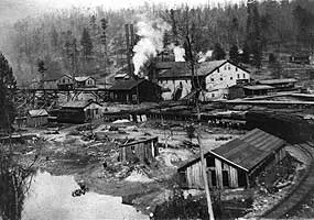
Catoosa area in 1914 showing early industrial development; picture taken at the present-day site of Island Creek (Credit: NPS and Michael R. O'Neal)
During the 19th and early 20th centuries, the land was extensively logged, and the coal mining industry also left a significant imprint on the landscape. The terrain was crisscrossed by railroads and logging roads, some of which are still visible today.
By the mid-20th century, much of the land had been degraded due to deforestation and mining. Recognizing the potential for conservation and public use, the Tennessee Game and Fish Commission (now TWRA) began acquiring parcels of the land in 1949. Catoosa became one of the first large-scale efforts in Tennessee to restore wildlife habitat and establish a public hunting area.
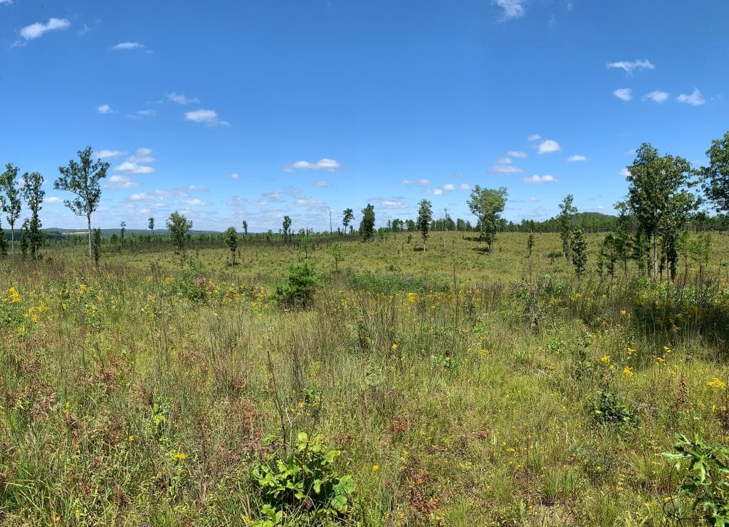
Reforestation and habitat restoration projects began in earnest, and over the decades, Catoosa has become a model for land reclamation and multi-use public land. The area now supports diverse wildlife populations including deer, turkey, black bear, and various small game species.
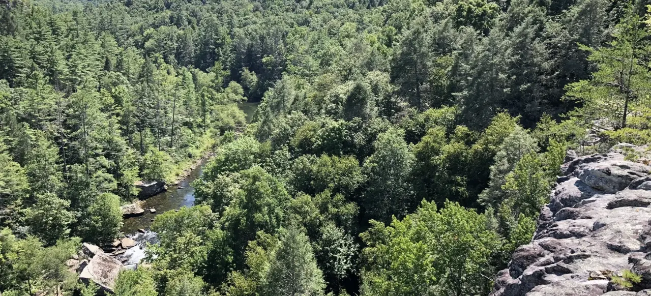
Devil's Breakfast Table Overlook, overlooking Daddy's Creek Gorge (Credit: SEGrasslands.org)
Today, Catoosa WMA is managed for wildlife conservation, hunting, fishing, and outdoor recreation. Its vast, rugged terrain offers solitude and opportunity for outdoor enthusiasts, while continuing to serve as an important ecological and historical resource for Tennessee.
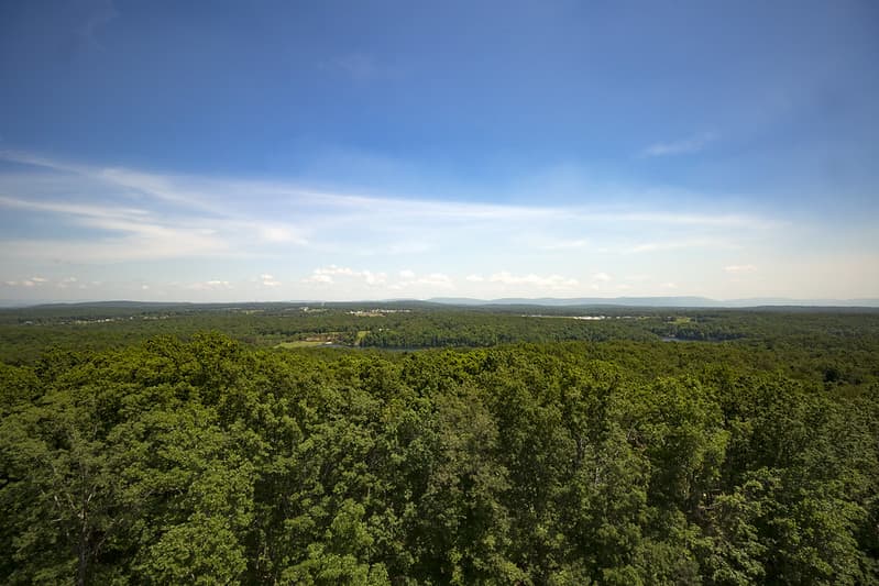
View from the Pilot Knob fire tower at Catoosa WMA (Credit: Chuck Sutherland)