Devil's Breakfast Table
A sandstone slab perched over Daddy's Creek Gorge, and the most photographed spot on the WMA.
Get directions ↗3 entrances · 2 check stations
Boundaries, gates and the handful of landmarks worth knowing before you go in.
TWRA · official
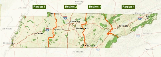
TWRA maintains a zoomable map of every WMA in Tennessee. It is the authoritative source for the Catoosa boundary, and it shows no-hunt areas, entrances and points of interest at whatever detail you need. Take a screenshot before you lose signal.
Some interior roads are gated and open seasonally. If you are bringing an OHV, a bike or a horse, you may only enter through a gated TWRA access point.
The main northern access, off Genesis Rd out of Crossville. Nearest to the Genesis checking station and range.
Northwestern access, serving Peavine Campground and its range.
Eastern access toward the Daddy's Creek side of the area.
A sandstone slab perched over Daddy's Creek Gorge, and the most photographed spot on the WMA.
Get directions ↗The high point of the area, with a view across the plateau in every direction.
Get directions ↗Big game and hogs must be checked here and tagged before you move them off the area. Hogs must arrive whole.
939 WMA Rd, Rockwood, TN 37854
The station sits in Oakdale, TN but carries a Rockwood mailing address.
Get directions ↗